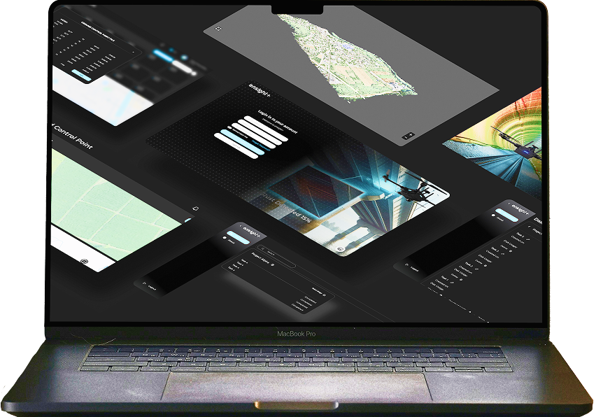
ENSIGHT+: FROM IMAGERY TO INTELLIGENCE IN MINUTES
Ensight+ is a powerful cloud-based photogrammetry platform that transforms raw aerial imagery into precise 3D models, orthomosaic maps, and actionable insights. With advanced processing algorithms and intuitive workflows, turn hours of manual work into minutes of automated intelligence.
Experience Real-Time Processing, Making Photogrammetry Not Just Accurate But Also Swift And Actionable
Harnessing the capabilities of cloud computing and advanced algorithms, Ensight+ is a versatile platform that opens up a realm where conducting systematic photogrammetry no longer demands extensive hardware and real-time insights becomes the norm.
GET READY FOR A NEW ERA OF CLOUD-BASED PHOTOGRAMMETRY
Photogrammetry through cloud platforms is not a futuristic technology; it is an essential requirement in today's rapidly evolving digital landscape. With the ongoing 4th industrial revolution, organizations aim to digitally transform their mapping processes, reduce costs, and enhance working environments. Ensight+ facilitates the seamless attainment of these objectives by elevating the standard of photogrammetry processing.
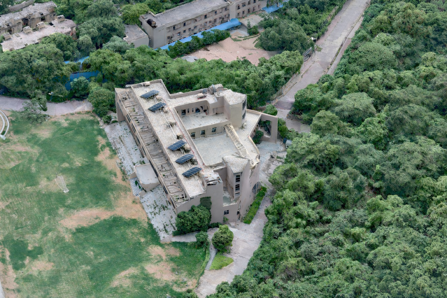
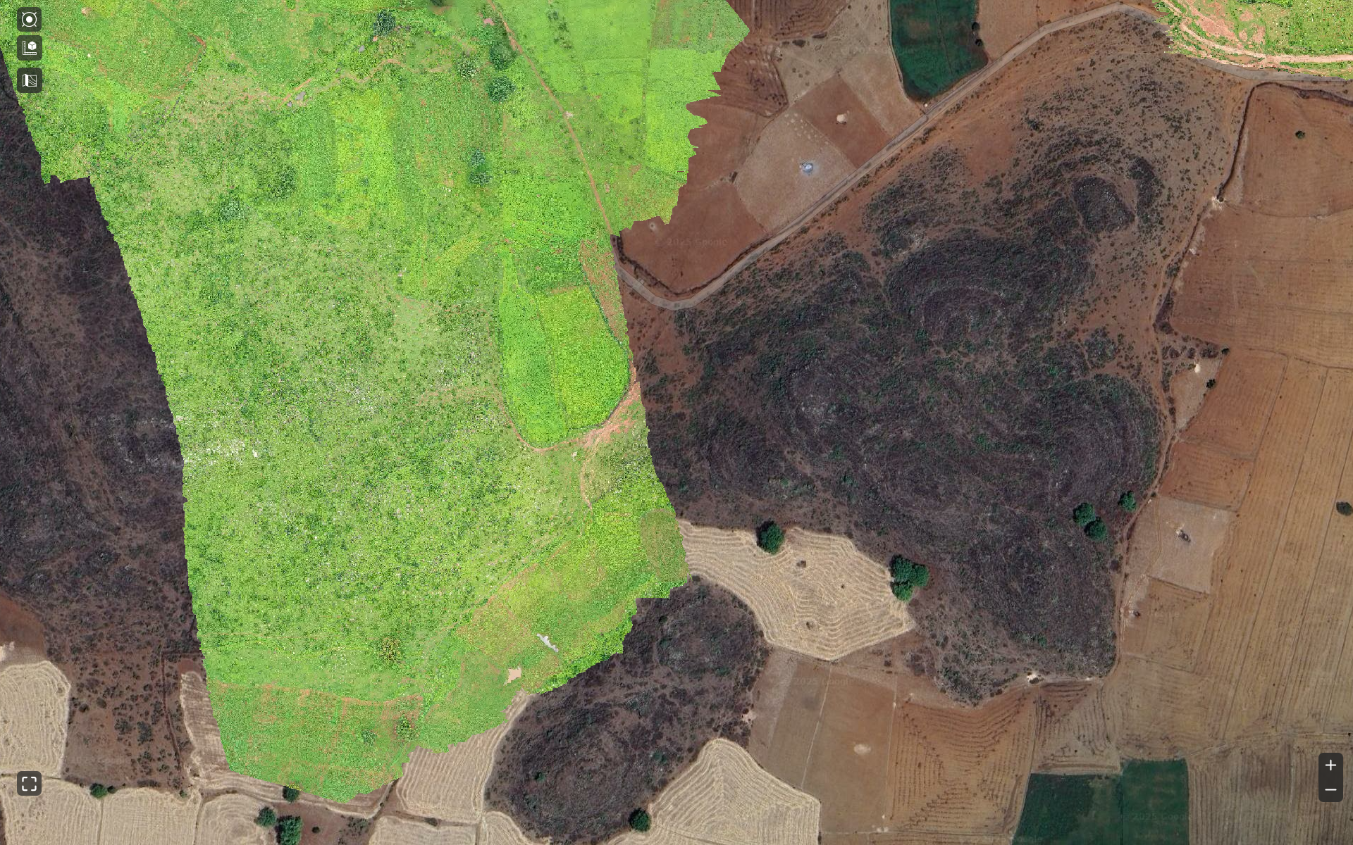
Orthomosaic Maps
3D Models & Point Clouds

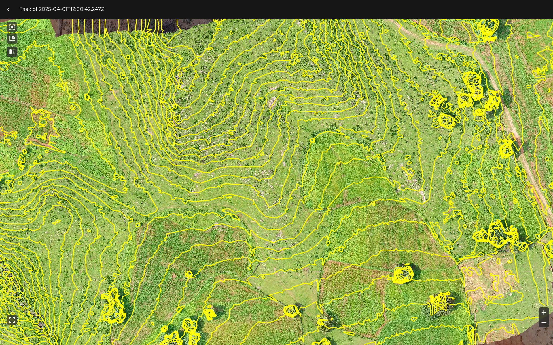
Contour Mapping
Plant Health Analysis

WORKFLOW
From Imagery to Intelligence in Minutes
A streamlined process that transforms raw data into actionable insights.
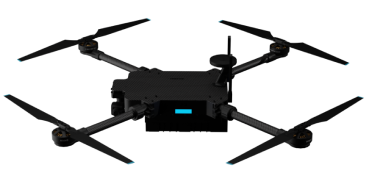
CAPTURE
Drone collects high-resolution aerial imagery with GPS coordinates
UPLOAD
Data uploaded securely to Ensight+ cloud platform
PROCESS
Advanced algorithms turn images into precision maps and models
ANALYZE
Generate comprehensive maps, 3D models, and detailed reports
ACT
Use actionable insights for strategic planning and operational decisions
KEY CAPABILITIES
Ensight+ delivers powerful capabilities that transform raw aerial imagery into actionable intelligence, enabling faster decision-making and more efficient operations.
Advanced 3D Reconstruction
Generate high-resolution 3D models and point clouds from aerial imagery with centimeter-level accuracy.
Automated Processing
Streamlined workflow with automated image processing, reducing manual effort and processing time significantly.
Precise Georeferencing
Accurate GPS-based georeferencing ensures all outputs are precisely positioned in real-world coordinates.
Multi-Format Export
Export data in multiple formats including GeoTIFF, LAS, OBJ, and KML for seamless integration with other tools.
Real-Time Processing
Fast processing algorithms deliver results in minutes, enabling quick decision-making for time-sensitive operations.
Advanced Analytics
Built-in analytics tools for volumetric analysis, change detection, and vegetation health assessment.
WHY CHOOSE ENSIGHT+
Discover the advantages that make Ensight+ the preferred choice for professionals seeking powerful, reliable, and efficient photogrammetry solutions.
Time Efficiency
Reduce processing time from hours to minutes with our optimized algorithms and cloud-based infrastructure.
Cost-Effective Solution
Eliminate the need for expensive hardware and specialized software with our cloud-based platform.
Scalable Infrastructure
Handle projects of any size, from small surveys to large-scale mapping operations, with automatic scaling.
User-Friendly Interface
Intuitive design requires minimal training, allowing teams to start producing results quickly.
Enterprise Security
Bank-level encryption and secure data storage ensure your sensitive information remains protected.
24/7 Support
Round-the-clock technical support and comprehensive documentation to help you succeed.
APPLICATIONS
Ensight+ serves diverse industries with powerful photogrammetry solutions tailored to specific needs and challenges.
DETAILED USE CASES
Explore how Ensight+ transforms operations across various industries with real-world applications.
Agriculture & Precision Farming
- Crop health monitoring with NDVI and multispectral analysis
- Yield estimation and harvest planning
- Irrigation system optimization
- Pest and disease detection
- Field boundary mapping and area calculation
Construction & Infrastructure
- Site progress monitoring and documentation
- Stockpile volume calculations
- As-built surveys and quality control
- Safety inspections and hazard identification
- BIM integration and 3D modeling
Mining & Quarrying
- Reserve estimation and mine planning
- Slope stability analysis
- Environmental impact assessment
- Reclamation monitoring
- Production tracking and reporting
Environmental Monitoring
- Forest inventory and health assessment
- Wetland mapping and conservation
- Coastal erosion monitoring
- Wildlife habitat analysis
- Carbon sequestration measurement
Defense & Security
- Terrain mapping and reconnaissance
- Mission planning and route optimization
- Surveillance and monitoring
- Threat assessment and analysis
- Training simulation data generation
Disaster Management
- Rapid damage assessment
- Search and rescue planning
- Flood mapping and analysis
- Wildfire monitoring and containment
- Post-disaster reconstruction planning